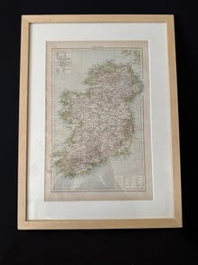
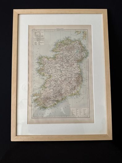
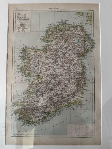
1898 Antique Map of Ireland - Framed Original Times Atlas Plate No. 23
- Seller:
- packard1969
- Feedback:
- Location:
- 54 more ads from this seller
- Entered/Renewed:
- 1 day ago
- Ad Views:
- 40


1898 Antique Map of Ireland - Framed Original Times Atlas Plate No. 23
Description
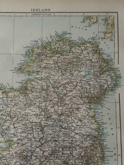
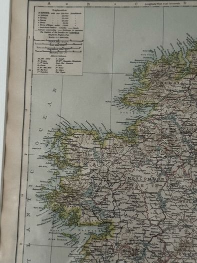
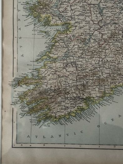
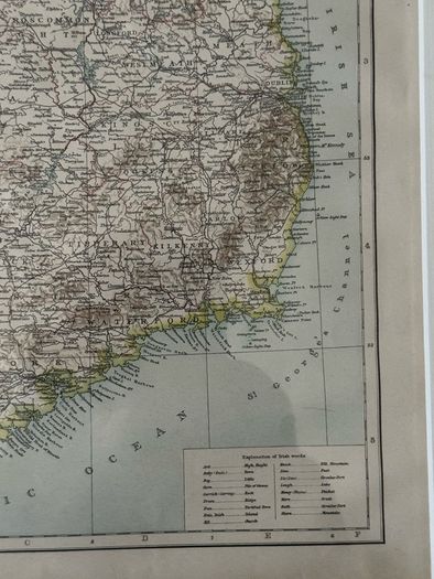
Original antique map of Ireland from the 1898 edition of The Times Atlas of the World (Plate 23).
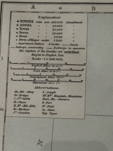
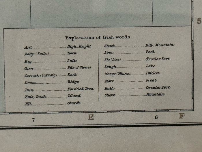
This is an authentic 19th-century steel-engraved map printed by John Bartholomew & Co., featuring original county border tinting and rich historical detail. It includes late-Victorian placenames such as King's County (Offaly), Queen's County (Laois), and Kingstown (Dún Laoghaire), alongside a key for town populations, rail lines, and an Irish language placename glossary (translating terms like Bally, Lough, and Slieve).
Details & Condition:
Date: 1898
Dimensions: 40 cm wide × 54 cm high (framed)
Framing: Professionally presented in a modern, light natural wood frame with an acid-free window mount. Ready to hang.
Condition: Map sheet and frame are in excellent vintage condition with crisp printing and clean margins.
 PaypalBank transfer
Asking Price: €65  No swaps
See more in our Documents & Maps category available today