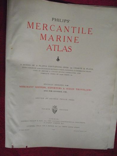
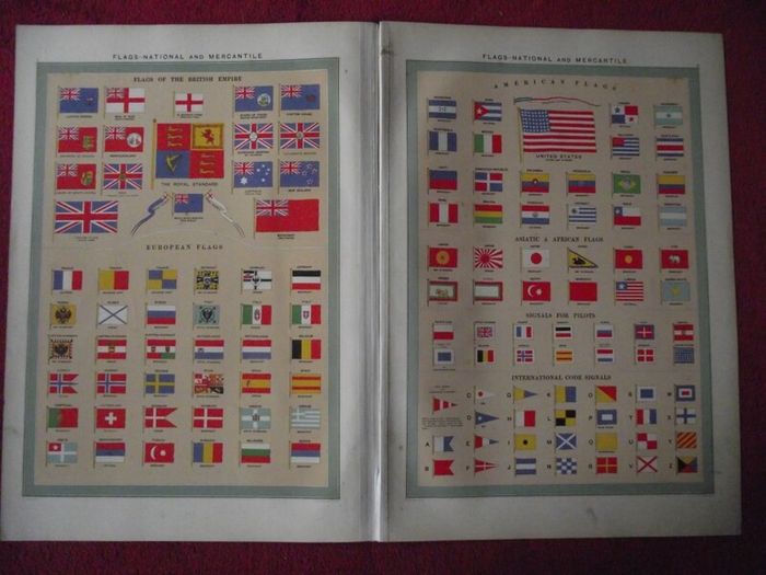
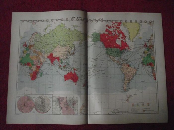
30 X Maps & Charts from Philip's Mercantile Marine Atlas of the World - Fourth Edition 1913
- Seller:
- epwallace
- Feedback:
- Location:
- 32 more ads from this seller
- Entered/Renewed:
- 3 weeks ago
- Ad Views:
- 119


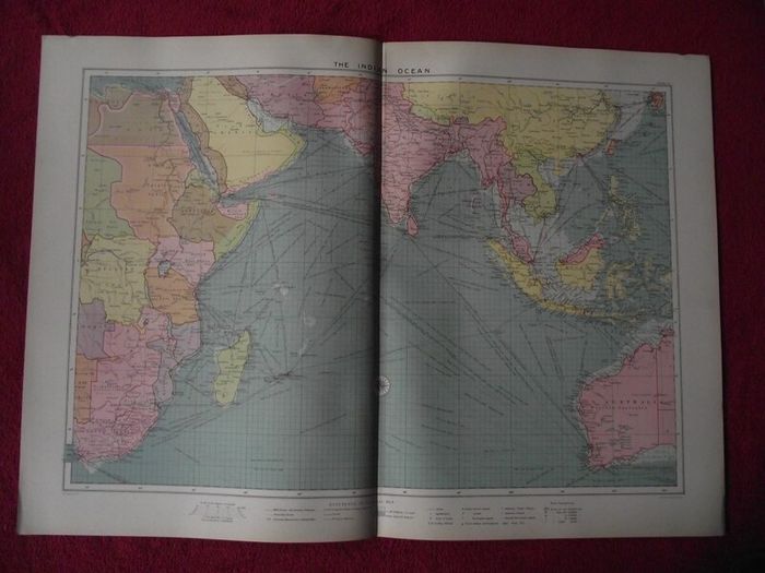
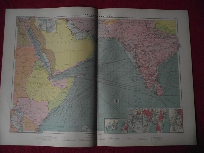
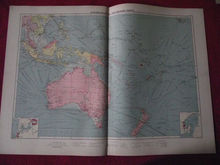
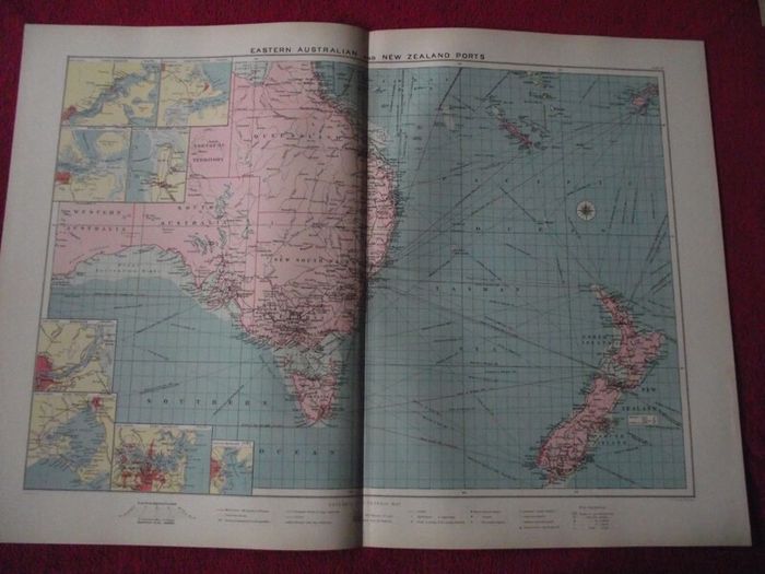
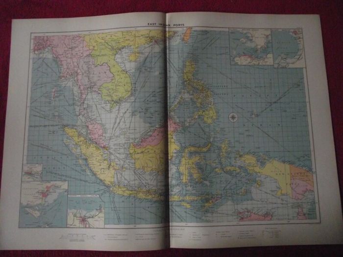
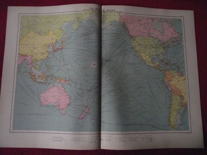
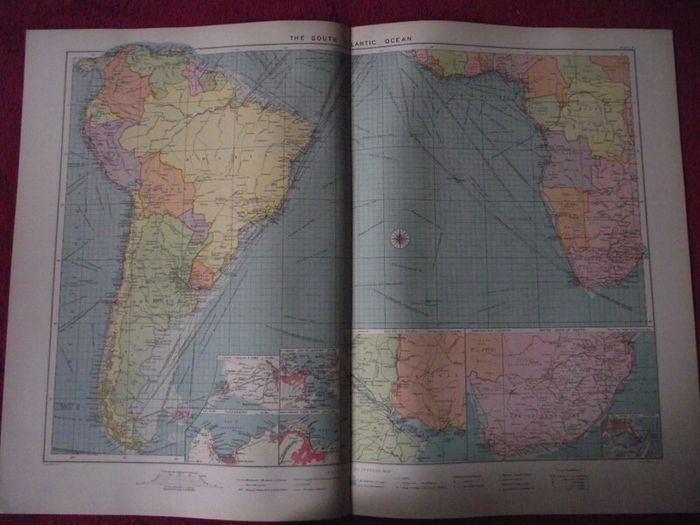
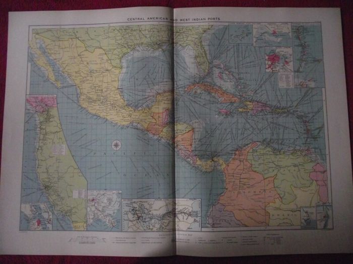
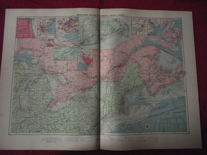
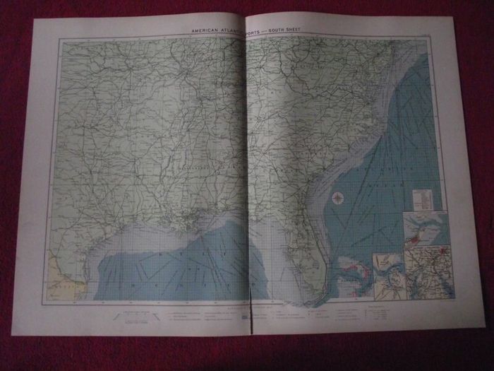
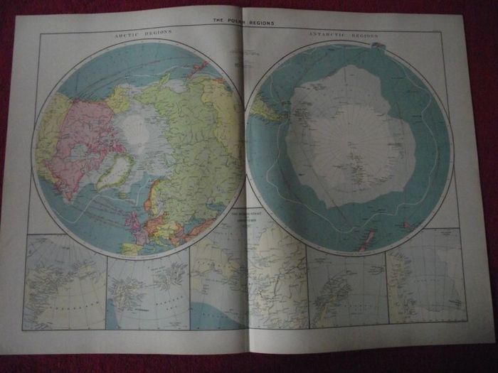
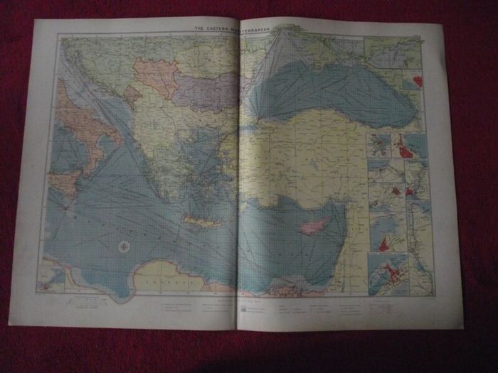
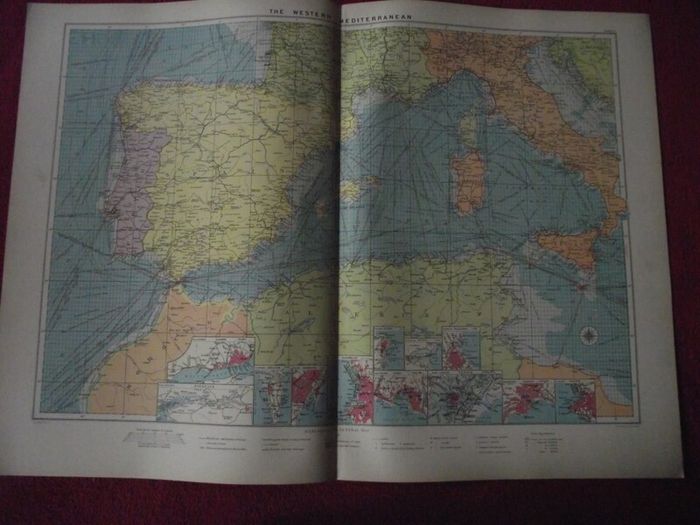
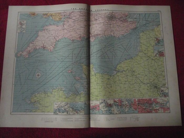
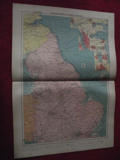
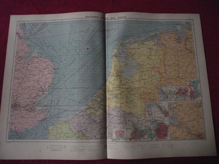
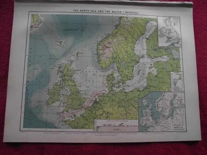
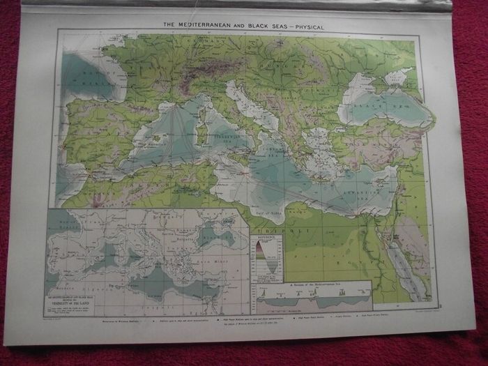
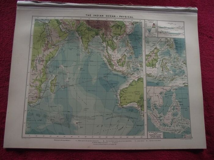
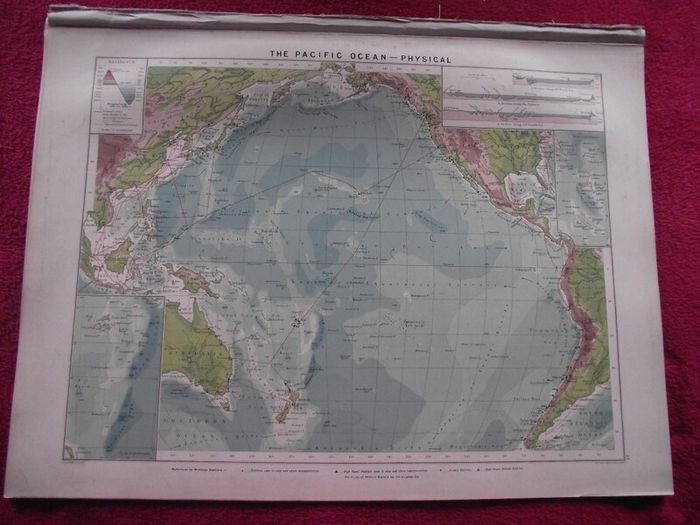
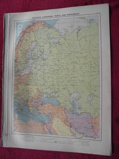
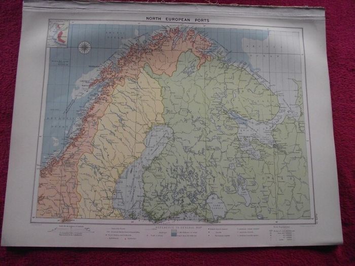
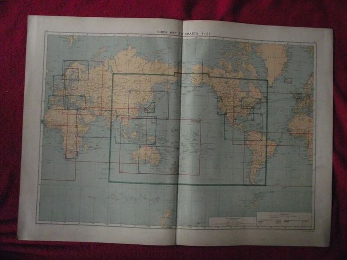
30 X Maps & Charts from Philip's Mercantile Marine Atlas of the World - Fourth Edition 1913
Description
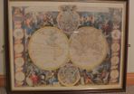
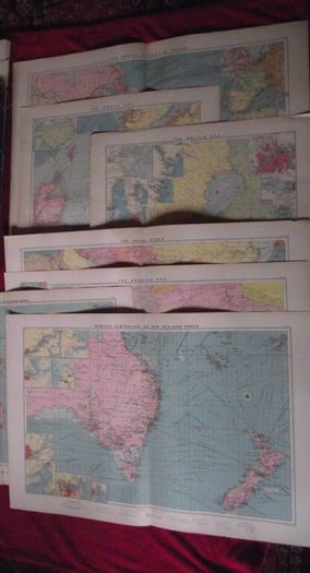
Antique Philip's Mercantile Marine Atlas of the World - Fourth Edition 1913
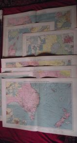
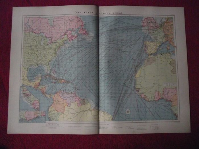
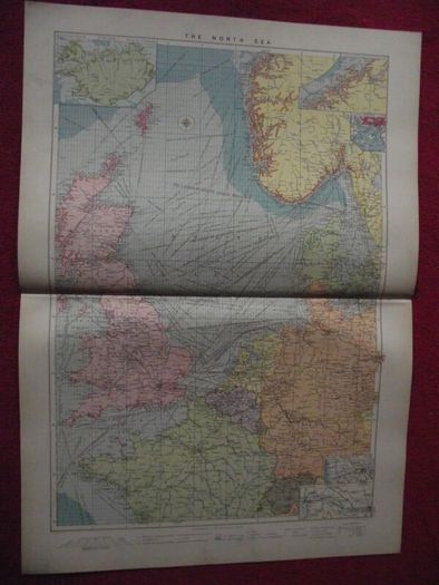
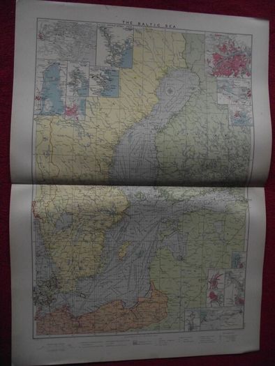
21 Double page Charts
1 Double page Index Map to Charts.
2 Single page Charts
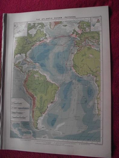
5 Single page Physical maps
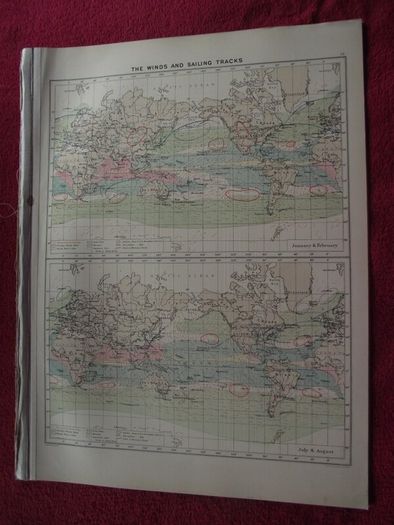
1 Single page Winds and Sailing Tracks.
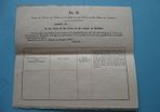
Broken fourth edition with 5 missing plates.
Missing plates:
1V. The Panama Canal and it's effects of Ocean Routes.
V. The Panama Canal - Approaches to the Canal, and Isochronis Charts.
4. The Irish Channel
13. Chinese and Japanese Ports.
22a List of Wireless Telegraphy Station of the World.
Condition: All charts very good - gilt edges to pages - minor handling marks.
Dimensions:
Charts:
Folded 20 3/4" high x 14 3/4" wide
A great collection of highly detailed antique shipping maps which will be a great addition to any collection of maps.
 Post/Courier PaypalTo be arranged
Asking Price: €35  No swaps
More Similar Ads
See more in our Documents & Maps category available today