8 X 19th Century French walled city plans - 1816 to 1845

- Seller:
- epwallace
- Feedback:
-
130 0
- Location:
- 37 more ads from this seller
- Entered/Renewed:
- 3 weeks ago
- Ad Views:
- 297


8 X 19th Century French walled city plans - 1816 to 1845
Description
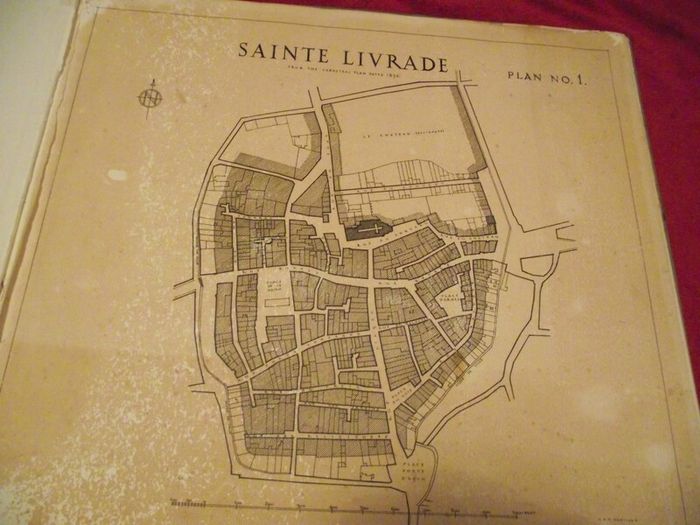
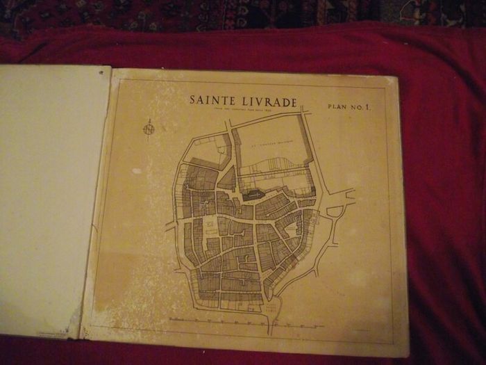
8 X 19th Century French walled city plans in a portfolio by G. H. Heritage
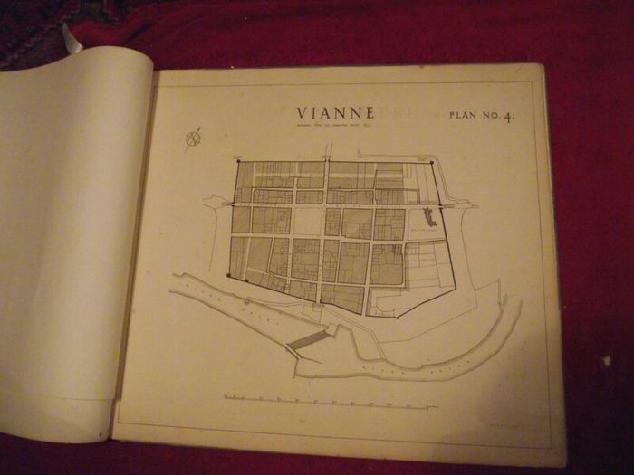
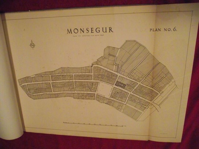
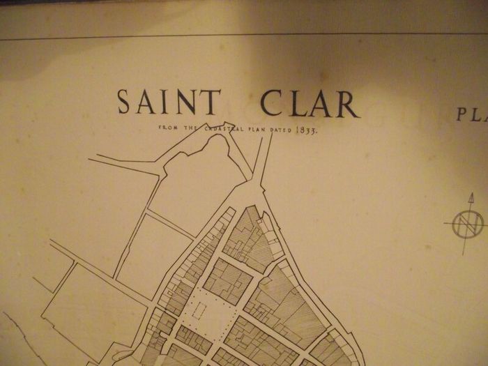
Eight French City Plans, each has the City name and underneath each is printed "From the Cadastral Plan" and dated - see details below.
1. Saint Livrade - 1836
2. Monpazier - 1845
3. Montreal - (not dated)
4. Vianne - 1837
5. Monflanquinn - 1816
6. Monsegur - 1835
7. Saint Clar - 1833
8. Villeneuve Sur Lot - 1826
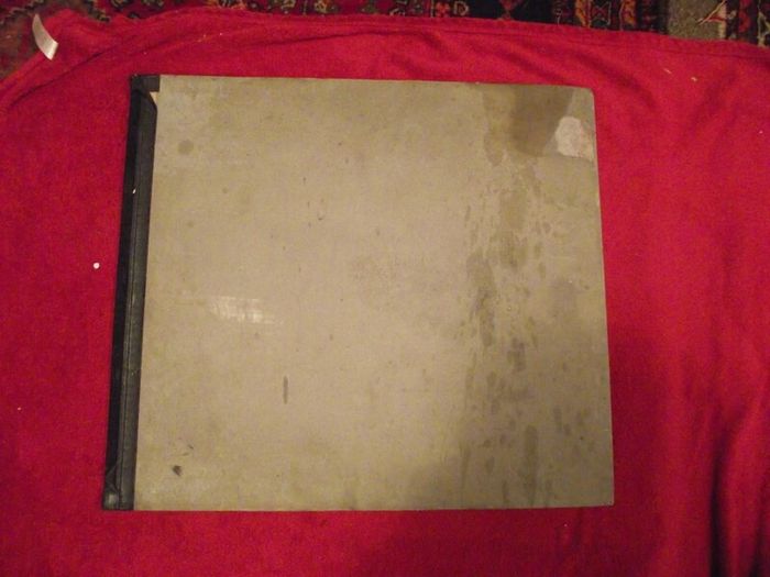
Condition: wear to portfolio but still firm - map No.1 has insect damage to top and bottom left corners (mainly margin) - map No.8 has small closed tear to left margin near bottom - all maps show some wear with the thick paper age toned - the name "G.H. Heritage" is printed on all maps to the bottom right corner - there is a small label on the inside of the portfolio showing the name of the stationers who supplied the folio for the maps - see all images.
Dimensions:
Portfolio covers: 24 3/4" wide x 21 1/2" high
6 x maps 23 5/8" wide x 21" high
1 x map 28 3/4" wide x 19" high
1 x map 32 1/4" wide x 28 3/4" high
An interesting collection of 19th century French maps that would look great framed.
Shipping: CollectionPost/Courier
 Post/Courier PaypalTo be arranged
Asking Price: €45  No swaps
See more in our Documents & Maps category available today