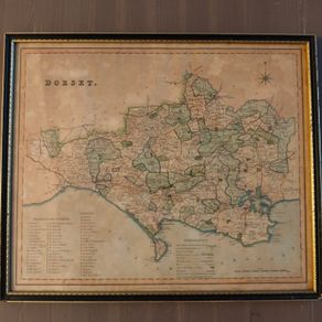
Antique 1830 Map of Dorset by Henry Teesdale
- Seller:
- giantlemon99
- Feedback:
- Location:
- 210 more ads from this seller
- Entered/Renewed:
- 1 month ago
- Ad Views:
- 93


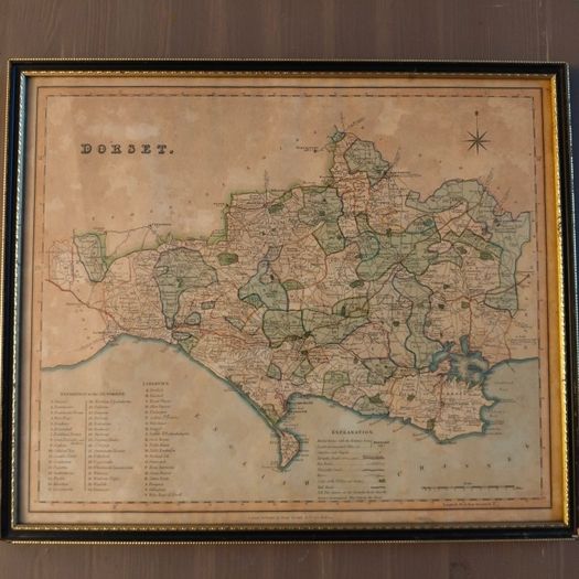
Antique 1830 Map of Dorset by Henry Teesdale
Description
A stunning, authentic piece of English cartographic history.
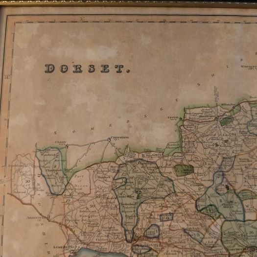
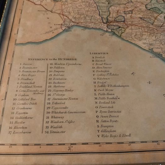
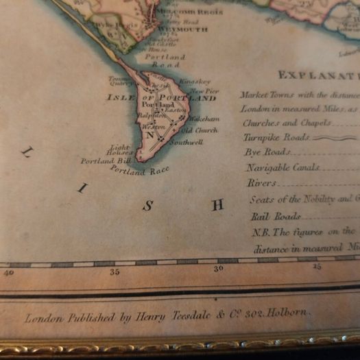
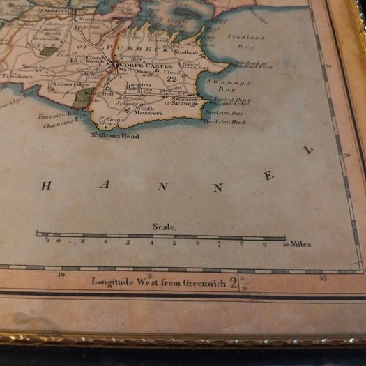
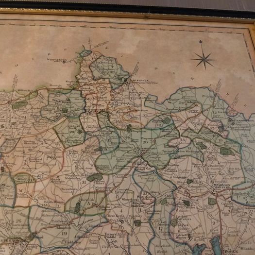
A genuine, original 1830 steel-engraved map of Dorset, England, published by the renowned Henry Teesdale and Co. for his highly acclaimed New British Atlas.
Publisher and Date Henry Teesdale and Co. London, circa 1830.
Printing Technique: Crisp, steel-plate engraving featuring microscopic geographic linework, dense parish details, and elegant period typography.
Coloring: Exquisite original hand-colored wash used to clearly delineate the historic hundreds, liberties, and boundaries of the county
Condition:
This 196-year-old map is in lovely antique condition and displays beautifully. The paper has developed a wonderful, authentic warm patina over the generations. There is some characterful, age-appropriate browning/toning visible along the lower portion of the sheet, which confirms its genuine antiquity and adds immense vintage charm.
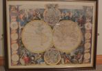
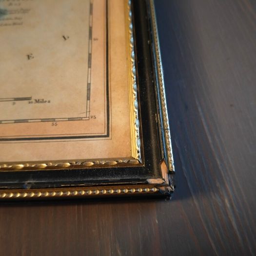
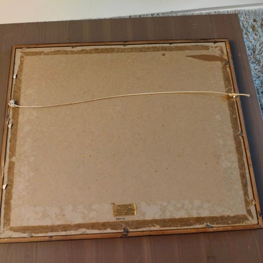
Frame has some minor damage as per pics
 To be arranged PaypalTo be arranged
Asking Price: €50  No swaps
See more in our Documents & Maps category available today