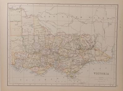
Antique Map Victoria 1890s
Asking price:
€40
Make an offer:
- Seller:
- somestuff
- Feedback:
- Location:
- 74 more ads from this seller
- Entered/Renewed:
- about a day ago
- Ad Views:
- 7

Viewing
1
of
2
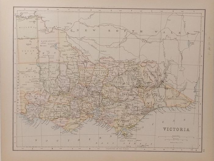
Antique Map Victoria 1890s
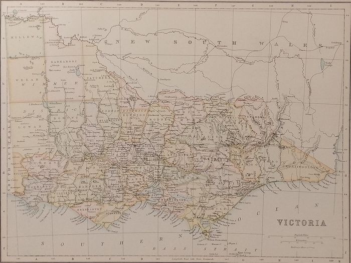
Antique Map Victoria 1890s
Description
Antique colour map of Victoria. Map shows the counties within Victoria with railway lines.
The map is in very good condition for age, very clear and vibrant with good margins for framing, paper will show light ageing. Map of Tasmania and Western Australia on the reverse. Pencil marks from previous owner on right border.
The map was originally published as part of Collins Complete Atlas and Gazetteer of the World published in the late 1890’s. Population data from the gazetteer would date the maps circa 1895 to 1897 period.
The map measures 23 by 30 cm’s with the overall paper size of 27 by 34 cm’s.
Postage €7
Shipping: Collection Post/Courier
Payment: PaypalTo be arranged
To be arranged
From sellers around the web:
Comments & Offers
Asking Price: €40 (Price Non Negotiable)  No swaps
Ask Question
Make Offer
More Similar Ads
€40.00
€39.00
€39.00
€30.00
€40.00
See more in our Documents & Maps category available today
€300.00
€80.00

€60.00
€400.00

€20.00
€7.00
€99.00
€5.00
€90.00

€70.00
€8.00

€80.00

€80.00

€80.00
€30.00
€40.00
€80.00
€15.00
€20.00

€50.00