First Edition Antique Boer War ,The Times War Map of South Africa Folding Cloth
- Seller:
- triggerjohnny
- Feedback:
- Location:
- 9 more ads from this seller
- Entered/Renewed:
- 25 minutes ago
- Ad Views:
- 27


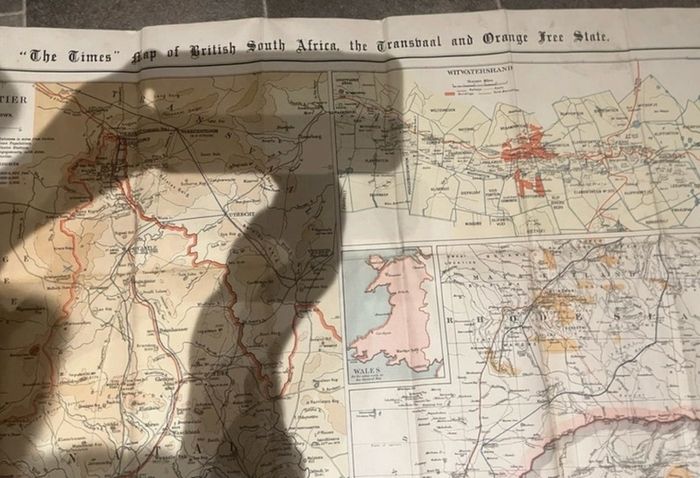
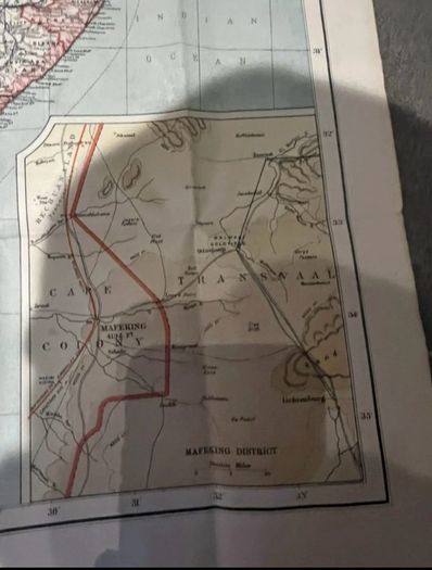
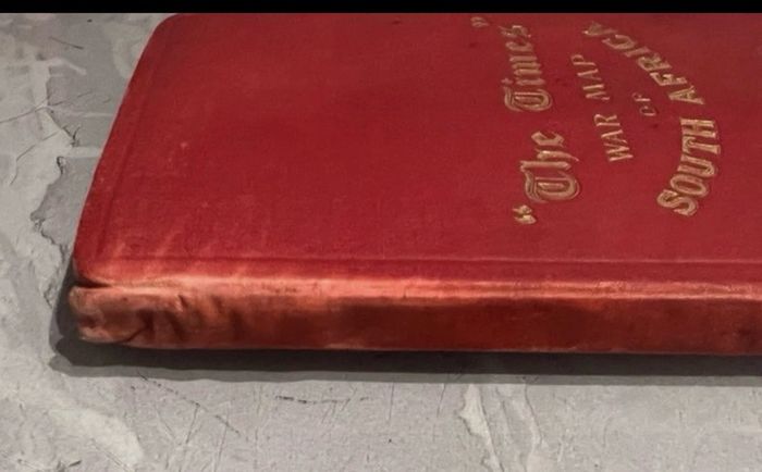
First Edition Antique Boer War ,The Times War Map of South Africa Folding Cloth
Description
Any questions just ask more pictures in request
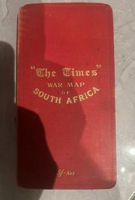
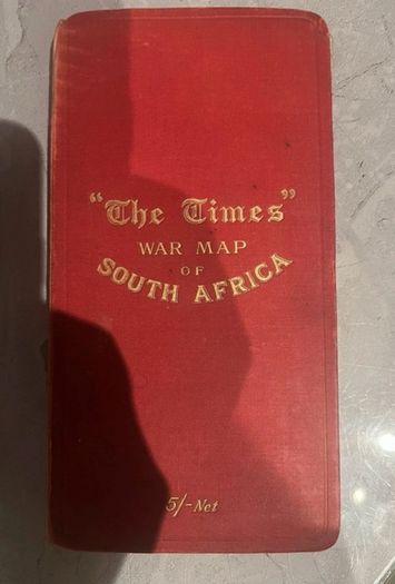
Antique Boer War Map The Times War Map of South Africa Folding Cloth Cover.
Description:
An authentic, scarce 1899 First Edition of "The Times" War Map of South Africa, issued at the outbreak of the Second Boer War (1899-1902).
This is the deluxe 5/- Net cloth-mounted edition, housed in its original gilt-lettered red cloth pocket boards.
Key Features & Cartographic Details:
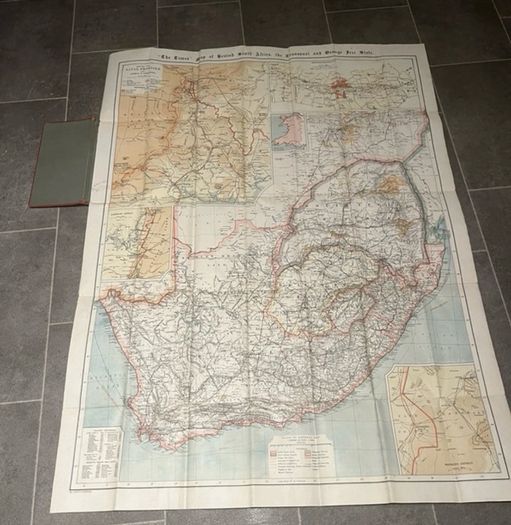
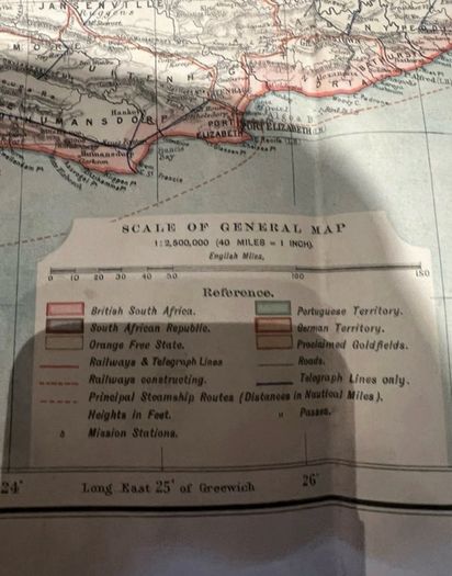
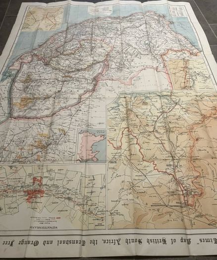
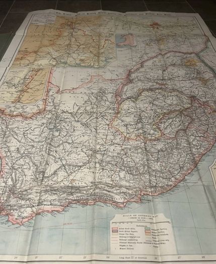
• Full Map Title: "The Times" Map of British South Africa, the Transvaal and Orange Free State
• Edition & Date: Confirmed First Edition (circa October/November 1899). Lacks the later Third Edition or Fourth Edition cover stamps and depicts the South African Republic (Transvaal) and Orange Free State as independent pre-annexation republics.
• Scale: 1:2,500,000 (40 English Miles = 1 Inch).
• Complete Set of Five Insets:
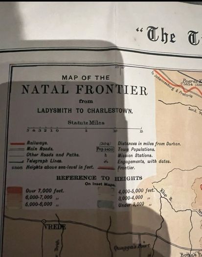
1. Map of the Natal Frontier from Ladysmith to Charlestown
2. Witwatersrand (detailing Johannesburg and goldfield claims)
3. Kimberley District
4. Mafeking District
5. Wales (for comparative scale)
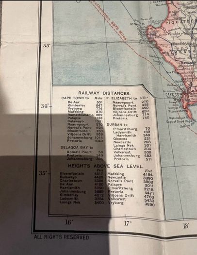
• Additional Reference Tables: Includes tables of Railway Distances (from Cape Town, Port Elizabeth, Durban, and Delagoa Bay) and Heights Above Sea Level.
• Format: Multi-panel lithographed colour map dissected and mounted on durable linen/cloth backing, folding neatly into original stiff red cloth covers.
Condition:
• Map Face & Linen: Very good antique condition.
The original lithographed political boundary colours (pink, yellow, and green) remain bright and crisp with minimal toning or foxing. Linen backing and fold joints are intact and strong, allowing the map to unfold smoothly without separation.
• Covers: Original red cloth boards with bright gilt lettering ("The Times" WAR MAP OF SOUTH AFRICA / 5/- Net). Light age-related shelf wear and slight fading along the spine edge, consistent with a 125+ year old field/desk map.
An ideal centerpiece for collectors of Second Boer War militaria, British Imperial history, or antique African cartography.
 To be arranged To be arranged
Asking Price: €145  No swaps
See more in our Documents & Maps category available today