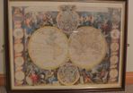
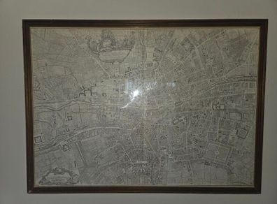
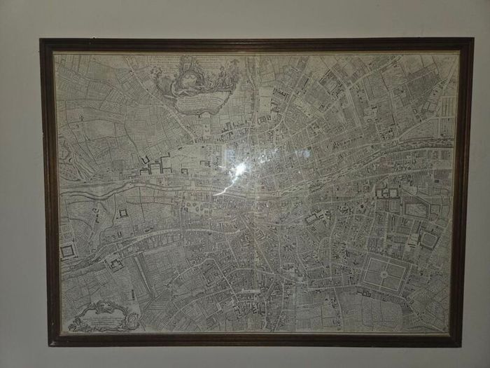
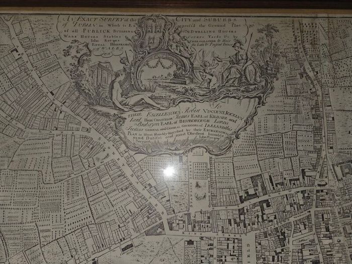
john rocque map of Dublin 1750
- Seller:
- B&Tvintage store
- Feedback:
- Location:
- 3 more ads from this seller
- Entered/Renewed:
- 9 months ago
- Ad Views:
- 174


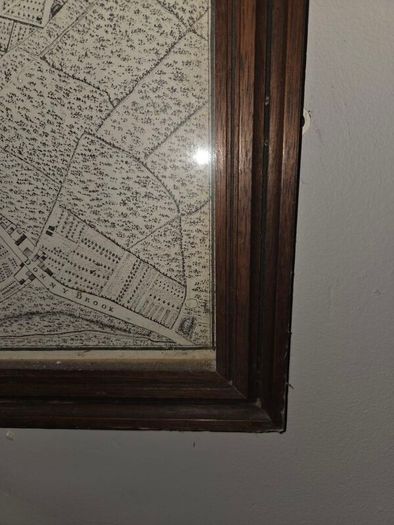
john rocque map of Dublin 1750
Description
Rocque first visited Dublin in August 1754. Initially establishing himself at the Golden Hart, Dame St., then at premises on Lower Ormond Quay (August 1755), he finally moved (June 1756) to premises in Bachelors Walk. His survey of Dublin Bay was on sale by November 1754. His proposal to map the city comprehensively, for which he sought advance subscriptions, was first advertised in September 1754. However, Robert Kendrick's intention to survey the city, as Dublin corporation's official surveyor, may have influenced Rocque's decision to advance his project sooner. The city and environs of Dublin (1756) was followed by his most influential work, The city and suburbs of Dublin (1757). ‘Uniquely detailed’ (Andrews, 279) and printed on four sheets at a scale of 200 ft to 1 inch, it so impressed George II that he ordered it to be hung in his apartments. Rocque also published The city and suburbs of Dublin with divisions of the parishes, reduced from the large plan in four sheets (1757), The city, harbour, bay and environs of Dublin (1757), and Pocket plan of the city of Dublin (1757).
 Delivery To be arranged
Asking Price: €500  No swaps
See more in our Documents & Maps category available today