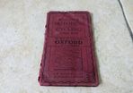
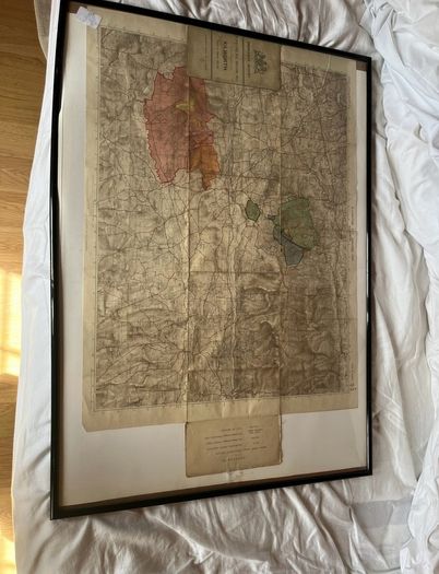
Manoeuvres Map 1912 Kilworth

- Seller:
- U2paul4me
- Feedback:
-
80 0
- Location:
- 16 more ads from this seller
- Entered/Renewed:
- 2 days ago
- Ad Views:
- 97


Manoeuvres Map 1912 Kilworth
Description
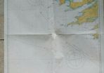
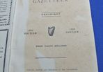
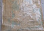
This is the cover of a rare British military training map from 1912, created by the Ordnance Survey for use during field exercises in Ireland.
Historical Significance
Military Training: These "Manoeuvre Maps" were specifically produced for large-scale training exercises known as manoeuvres. Unlike standard civil maps, they often included specialized markings for troop movements, bivouac areas, and tactical features.
Kilworth Army Camp: The focus on Kilworth refers to the Kilworth Army Camp in County Cork. Established by the British Army in 1896, it was a primary training hub for soldiers before they were deployed to conflicts like the Boer War and World War I.
A Pre-Independence Record: Published in 1912, this map dates from just before the "Revolutionary Period" in Ireland (1912–1923). After 1922, the camp was handed over to the National Army of the newly established Irish Free State. It remains a vital training facility for the Irish Defence Forces today.
 To be arranged
 No swaps
See more in our Documents & Maps category available today