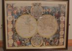
Philips New Map of Africa - London and Liverpool - George Philip & Son-Ca.1890

- Seller:
- epwallace
- Feedback:
-
130 0
- Location:
- 37 more ads from this seller
- Entered/Renewed:
- 2 weeks ago
- Ad Views:
- 132


Philips New Map of Africa - London and Liverpool - George Philip & Son-Ca.1890
Description
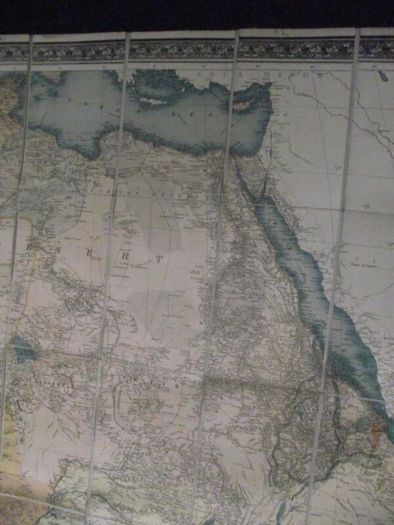
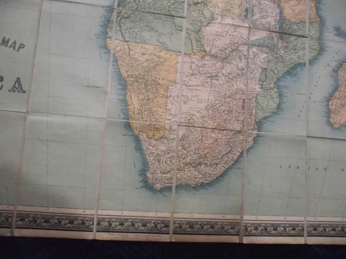
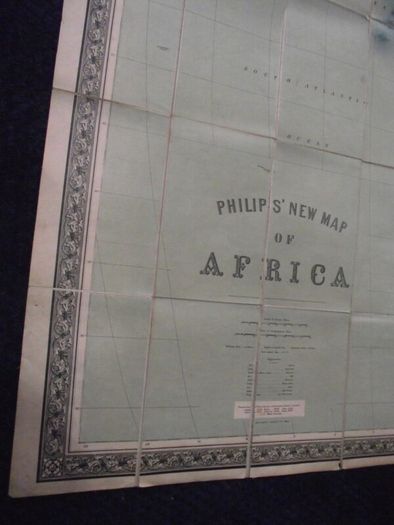
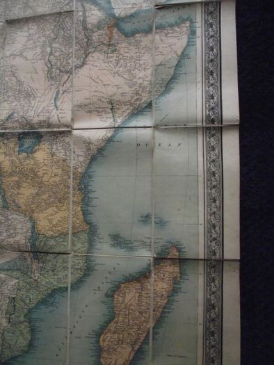
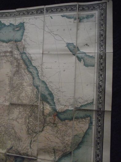
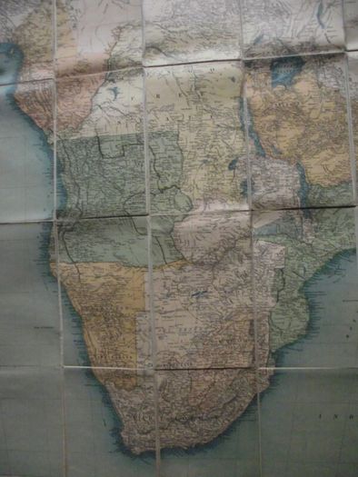
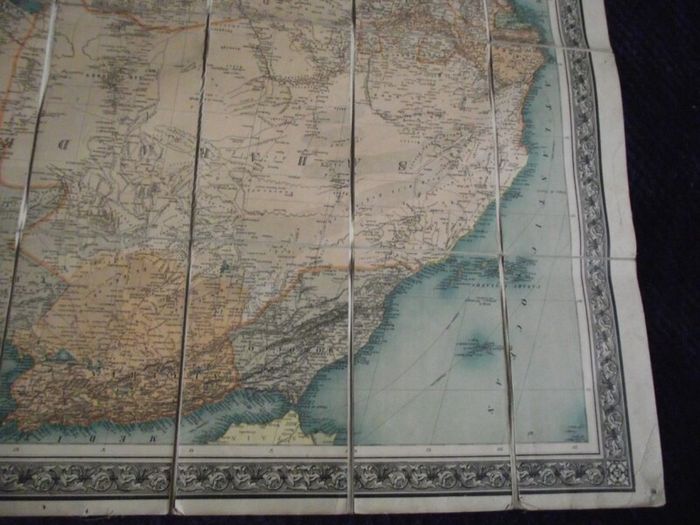
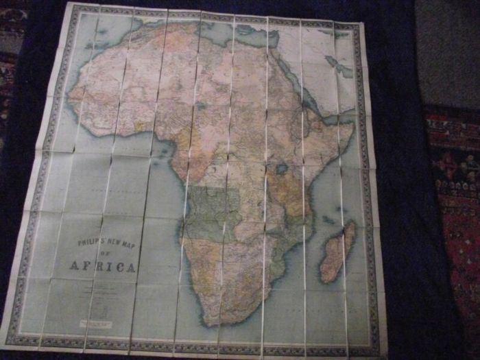
Philips’ New Map of Africa.
London and Liverpool: George Philip & Son - Circa 1899
*Items will be sent from Ireland (EU) and customs charges may apply*
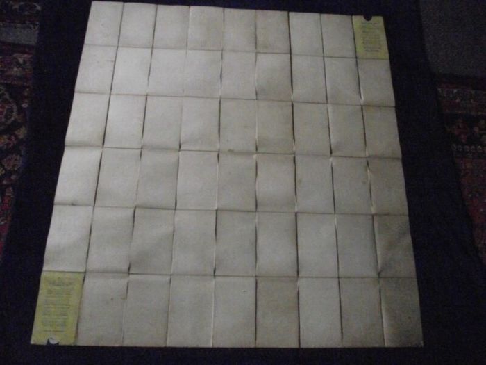
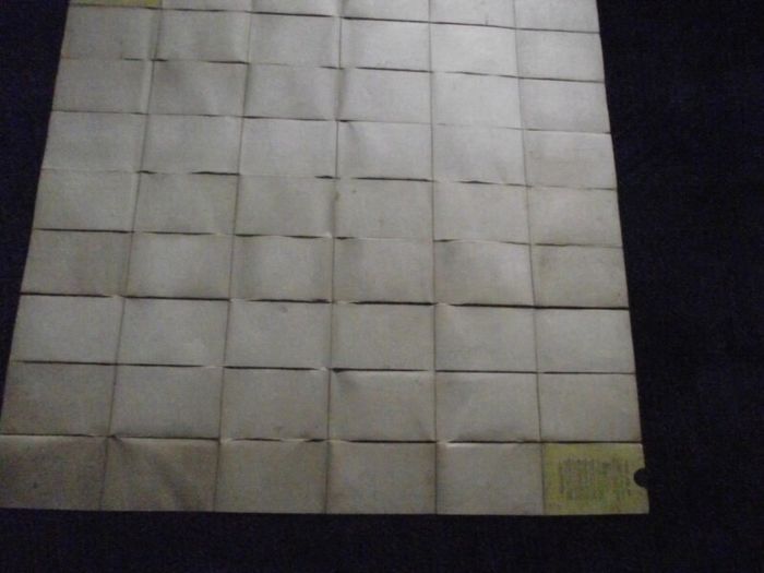
19th century folding coloured engraved map within an engraved decorative border, dissected and laid on linen as published.
A large map of Africa published by Scottish cartographer George Philip circa 1899, coloured to show the ‘Possessions & Protectorates of European Powers.’
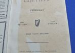
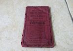
Condition: Good - complete - laid on linen - pin hole marks and minor damage to both top corners - paper age toned - linen back grubby - 54 panels which fold down between two card covers (presumed slipcase now missing) - adverts for Edward Stanford maps on both covers - see all images for condition.
Dimensions: 46 3/4" high x 44 5/8" wide
Folded: 7 3/4" high x 5" wide
Overall a good example of a now scarce19th century map of Africa which will be an addition to any collection.
 Post/Courier PaypalTo be arranged
Asking Price: €275 (Price Non Negotiable)  No swaps
See more in our Documents & Maps category available today