Set of 5 Antique Maps 1849 1850 Meyers Zeitung Atlas

- Seller:
- robix
- Feedback:
- Location:
- 16 more ads from this seller
- Entered/Renewed:
- 3 days ago
- Ad Views:
- 51


Set of 5 Antique Maps 1849 1850 Meyers Zeitung Atlas
Description
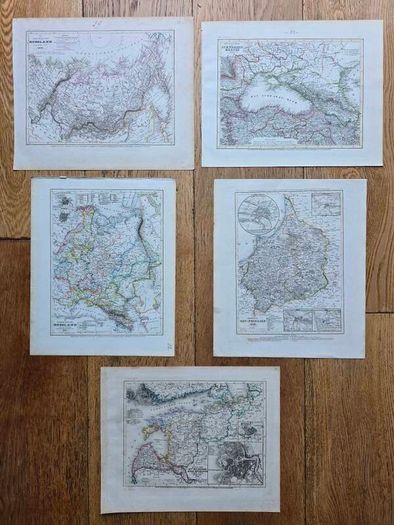
SET OF 5 ORIGINAL ANTIQUE MAPS – MEYER'S ZEITUNGS-ATLAS, 1849–1850
A beautiful set of 5 original 19th-century maps from Meyer's Zeitung-Atlas, dating from 1849–1850.
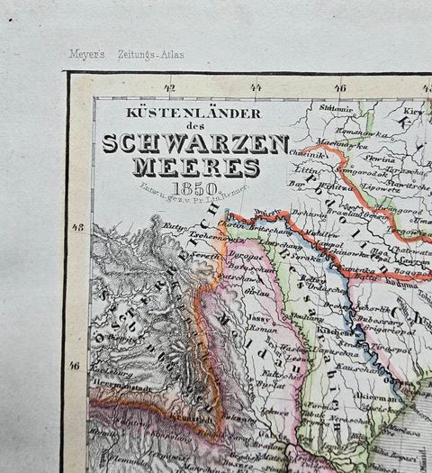
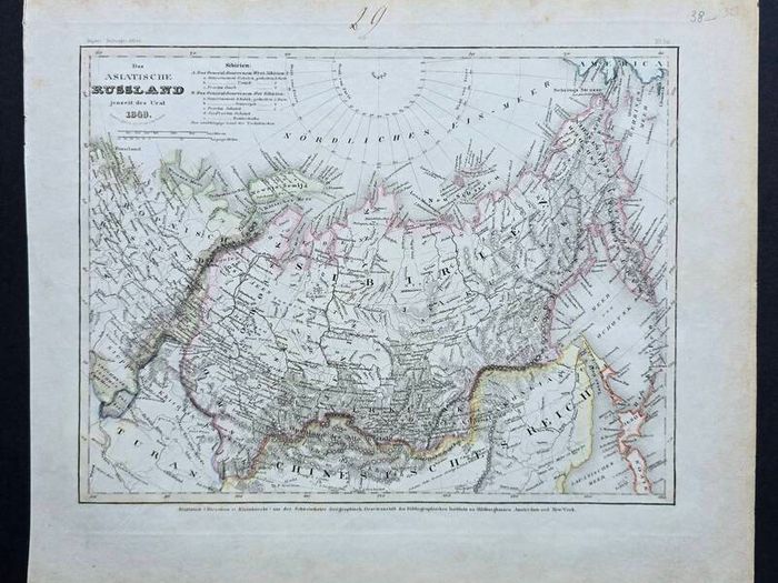
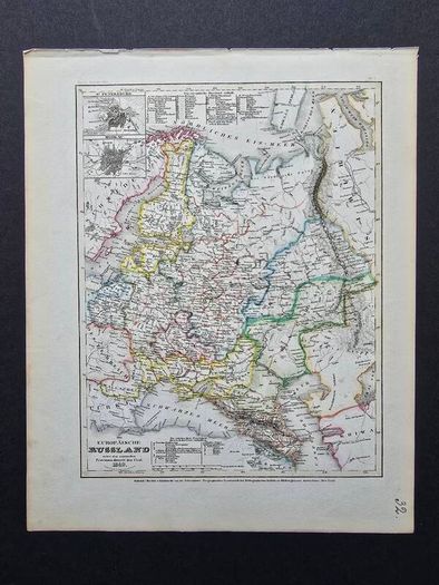
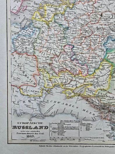
The maps cover a fascinating area of Eastern Europe and the Russian Empire, including Russia, the Baltic region, the Black Sea, the Caucasus and East Prussia.
The set includes:
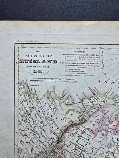
• Russia beyond the Urals / Siberia – 1849
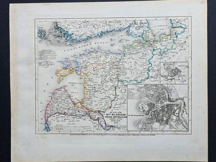
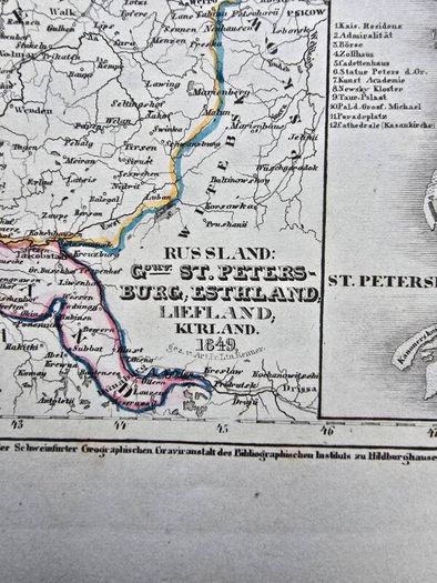
• St Petersburg, Estonia, Livonia & Courland – 1849
• European Russia – 1849
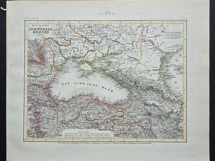
• Black Sea & Caucasus – 1850
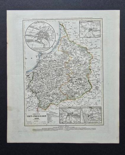
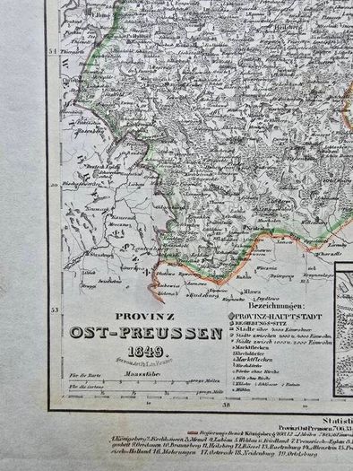
• East Prussia – 1849
Several maps include detailed historical city plans, including St Petersburg, Moscow, Königsberg, Gumbinnen, Tilsit and Memel.
Original steel engravings with contemporary hand-coloured boundaries, printed on the original atlas sheets.
Approx. sheet size: 26 × 30 cm each.
Condition: Very good antique condition with normal signs of age, including some age toning, light marks and minor edge wear.
Please see all photographs — the photographs show the actual maps included in the set.
The maps are sold as one complete set of 5 and are not framed. The original margins have been retained.
A great set for collectors of antique maps, cartography, European history or historical Wall Decor.
 DeliveryPost/CourierTo be arranged PaypalTo be arranged
Asking Price: €149  No swaps
See more in our Documents & Maps category available today