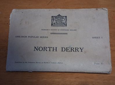
Vintage 1939 Ordnance Survey Northern Ireland Map North Derry Sheet 1
- Seller:
- IrishAntiques
- Feedback:
- Location:
- 354 more ads from this seller
- Entered/Renewed:
- 26 minutes ago
- Ad Views:
- 10


Vintage 1939 Ordnance Survey Northern Ireland Map North Derry Sheet 1
Description
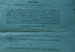
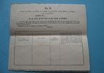
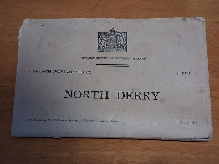
Original 1939 first edition printing of the Ordnance Survey of Northern Ireland One Inch Popular Series map, Sheet 1 North Derry.
Details:
Scale: One inch to one statute mile
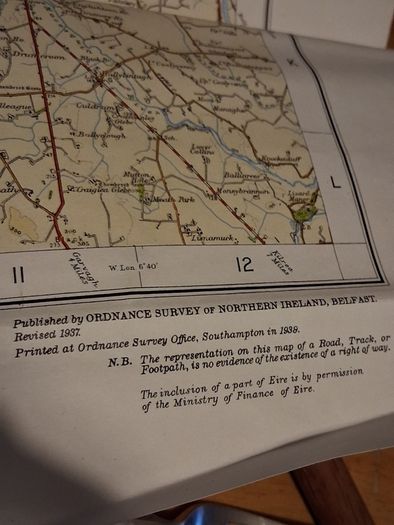
Survey and Print: Revised 1937, printed at the Ordnance Survey Office Southampton in 1939
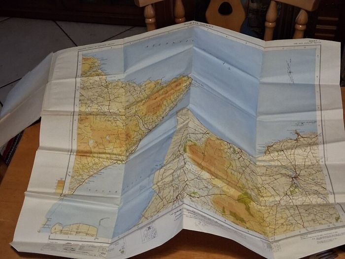
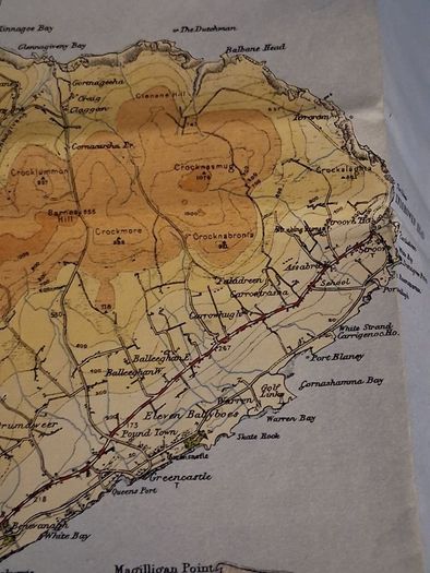
Coverage: Northern County Londonderry and Derry, including Coleraine, Limavady, Garvagh, and the north coast, plus parts of Inishowen across Lough Foyle, noted in the margin as included by permission of the Ministry of Finance of Eire
Format: Folding map in original grey card covers, original pre decimal price 3 shillings
Condition:
Very good vintage condition for its age. The cover shows light edge wear and minor age discolouration, while the map inside is crisp, bright, and clean along the folds with no major tears or staining.
Great piece of pre WWII Irish cartography for collectors, local historians, or framing. Folds out to a very large 74cm x 62cm.
Collection available or can post at buyers expense.
 PaypalBank transfer
Asking Price: €35  No swaps
See more in our Documents & Maps category available today