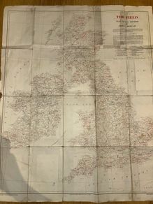
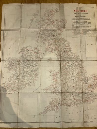
Vintage 1963 'The Field' Map of the Rivers of Great Britain & Ireland
Asking price:
€20
Make an offer:
- Seller:
- Cal2026
- Feedback:
- Location:
- 11 more ads from this seller
- Entered/Renewed:
- 3 days ago
- Ad Views:
- 61


Viewing
1
of
3
Vintage 1963 'The Field' Map of the Rivers of Great Britain & Ireland
Vintage 1963 'The Field' Map of the Rivers of Great Britain & Ireland
Description
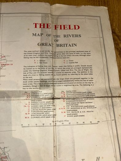
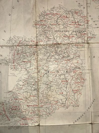
authentic vintage folding map titled "The Field Map of the Rivers of Great Britain" (comprehensively covering Ireland as well). Published as a premium supplement by The Field newspaper and printed by the renowned cartographers Edward Stanford Ltd., London, in 1963.Designed as a practical guide for fly-fishing travelers, it maps major river catchments with color-coded keys indicating game and coarse fish distributions (Salmon, Sea Trout, Trout, Coarse Fish).It would look brilliant framed. Year: 1963Publisher: Edward Stanford, Ltd. / The FieldCondition: Vintage condition (poor) with typical age-toning (foxing) on the paper margins that adds to its authentic antique look.
Shipping: Delivery To be arranged
To be arranged
Payment: Cash
From sellers around the web:
Comments & Offers
Asking Price: €20  No swaps
Ask Question
Make Offer
See more in our Documents & Maps category available today

€80.00
€99.00
€200.00
€70.00
€400.00
€5.00

€35.00
€190.00
€200.00
€50.00
€40.00
€80.00

€80.00
€160.00

€125.00
€300.00

€80.00
€90.00
€50.00
€8.00