Mapping the First World War
Asking price:
€15
Make an offer:
- Seller:
- JDill7
- Feedback:
- Location:
- 602 more ads from this seller
- Entered/Renewed:
- 1 year ago
- Ad Views:
- 134


Viewing
1
of
25
Mapping the First World War
Mapping the First World War
Description
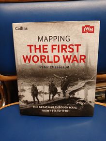
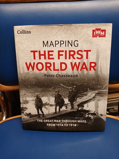
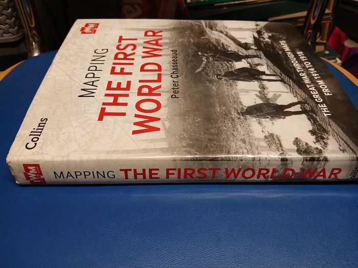
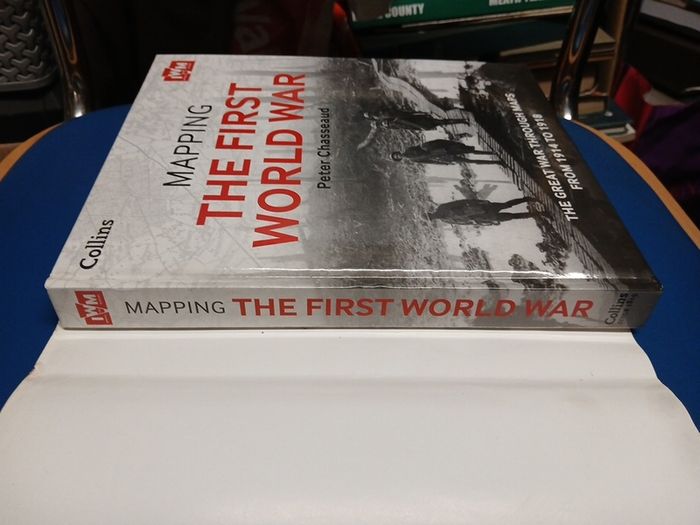
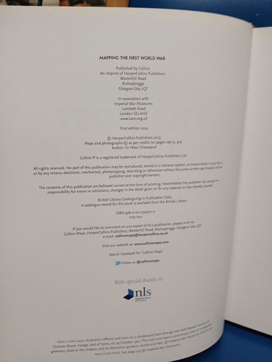
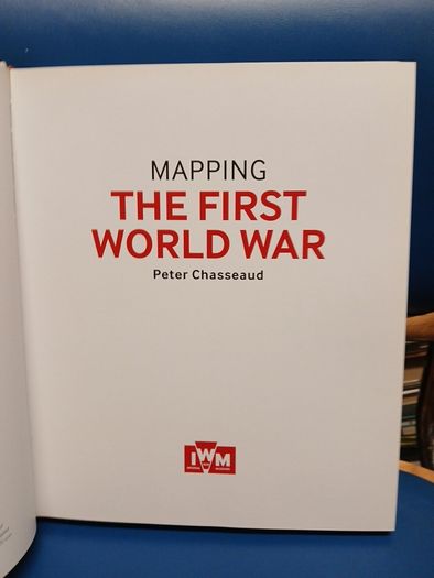
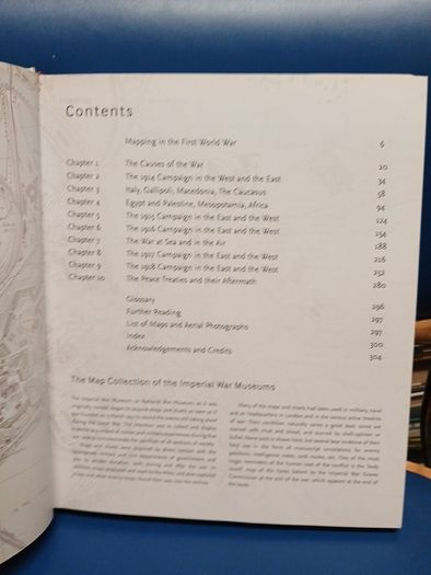
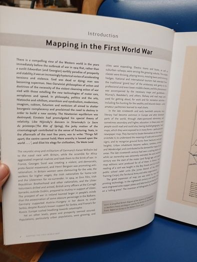
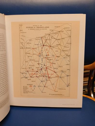
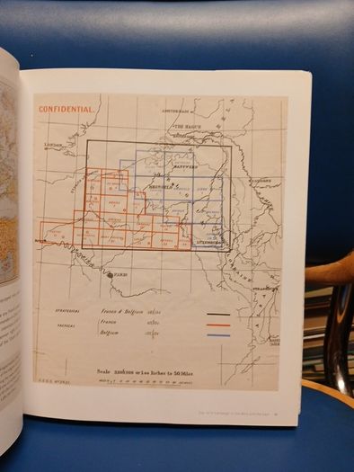
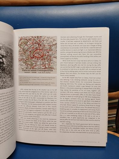
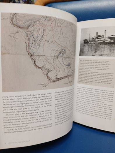
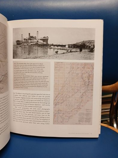
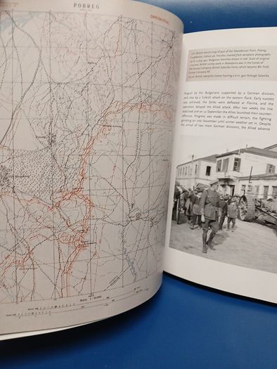
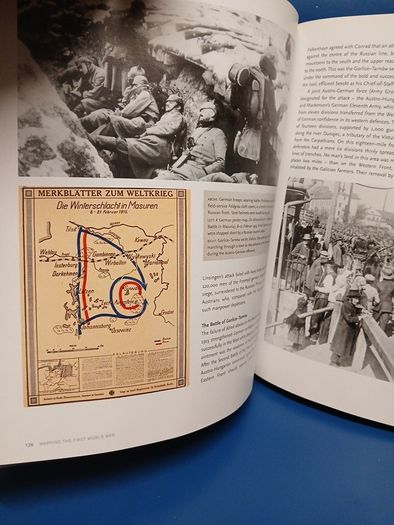
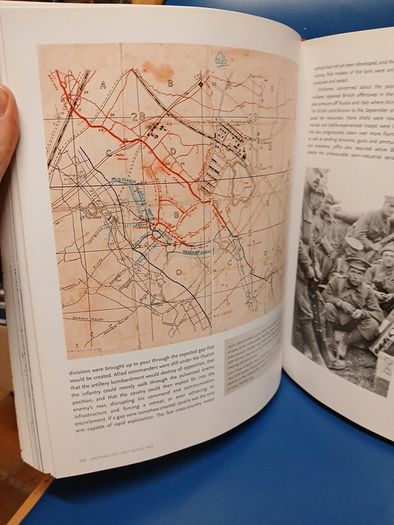
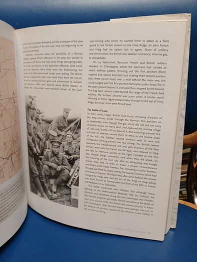
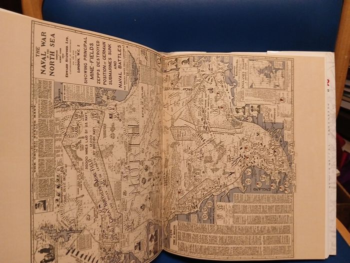
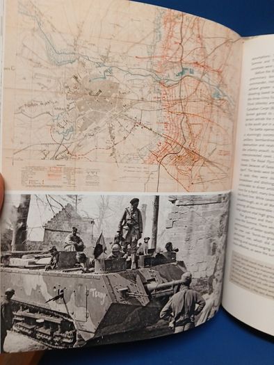
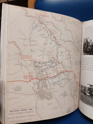
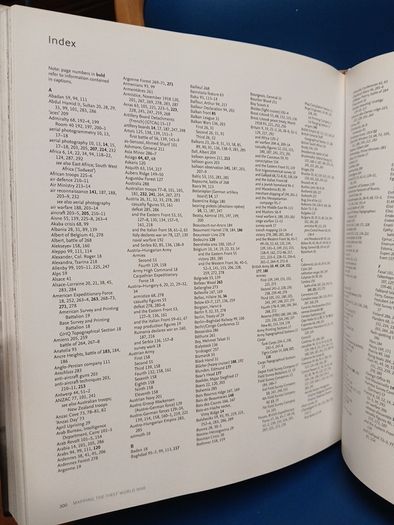
'Mapping the First World War: The Great War Through Maps from 1914 to 1918' by Peter Chasseaud. Large format hardcover in dustjacket, published in association with the Imperial War Museums in 2013, 304 pages.
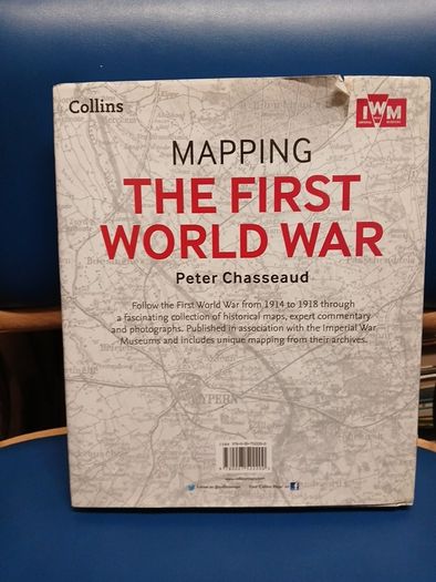
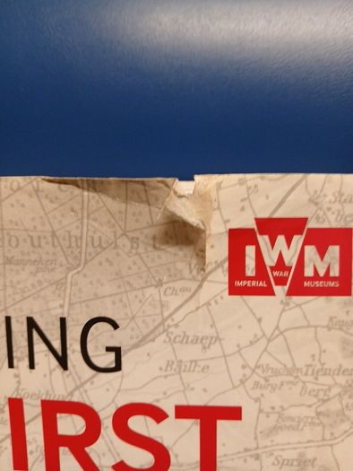
In good overall condition with minor handling wear and light staining to the dustjacket, plus a small tear to the dustjacket on the back as highlighted. Internally very clean.
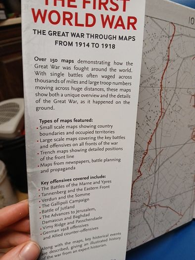
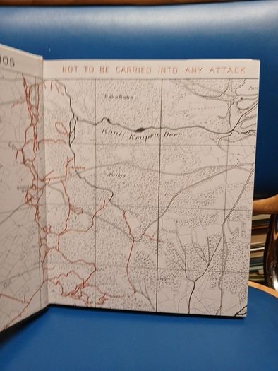
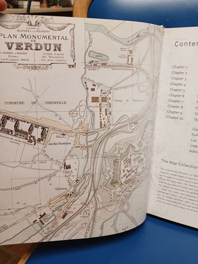
Beautifully-produced volume of World War One interest by a renowned historian of military cartography. Fantastic images of maps and other illustrations throughout.
Postage +€6.
Shipping: Collection Post/Courier
Payment: CashPaypal
Paypal
From sellers around the web:
Comments & Offers
Asking Price: €15  No swaps
Ask Question
Make Offer
More Similar Ads

€9.00

€15.00

€15.00

€18.00

€15.00
€15.00

€20.00

€20.00

€20.00

€20.00

€10.00
€12.00

€20.00
€10.00

€12.00

€15.00

€12.00
€15.00
€15.00

€15.00
See more in our Non-fiction category available today

€24.00 

€20.00

€10.00

€15.00
€15.00

€5.00

€3.00

€140.00

€5.00

€20.00
€15.00

€1.00

€35.00

€20.00
€45.00

€30.00
€5.00

€20.00

€20.00

€20.00